
拍品號碼 5826
The 2026 June Auction - Sale 347 (June 20 - June 23, 2026) June 20 - June 23 2026, Hong Kong
拍品號碼 5826
起標價: 700 HK$
成交价: 未成交拍品
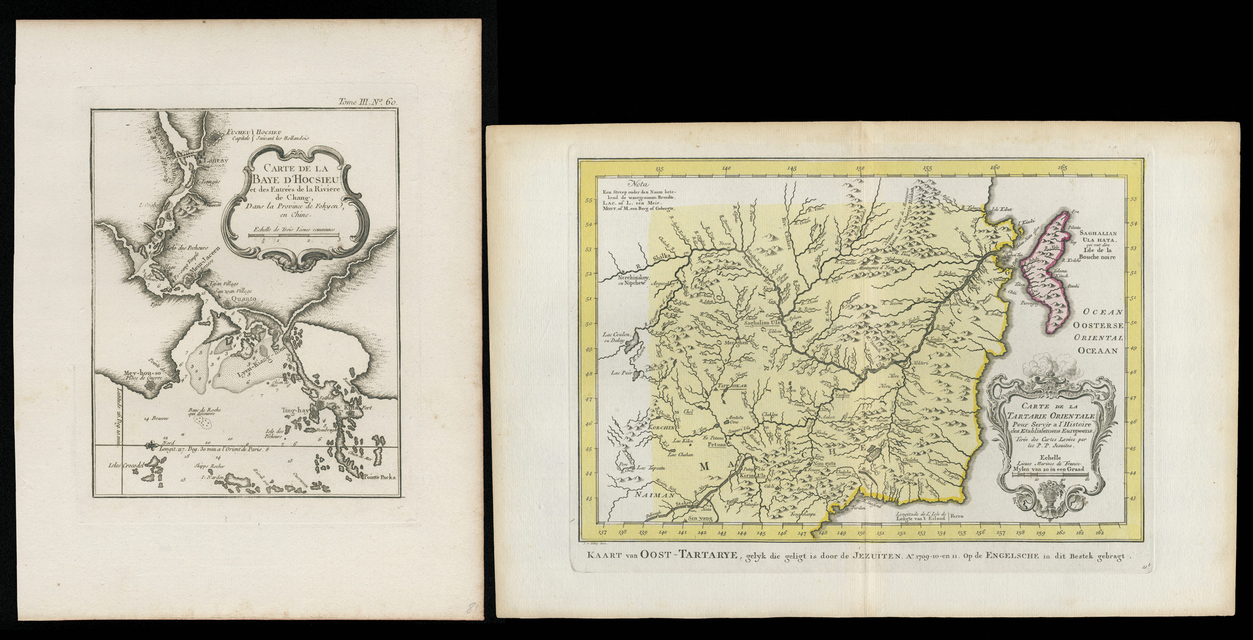
十八世紀法文銅版地圖兩幅,包括東韃靼及朝鮮、滿洲一帶地圖,以及福建海岸興化府附近海灣圖,前者標示滿洲、蒙古、朝鮮及東北亞山川地名,後者描繪福建沿海港灣、水道與島嶼,均帶裝飾性題名框,反映十八世紀歐洲對中國東北及東南沿海地理之認識;紙張潔淨,局部有輕微黃化及裝裱痕跡,具早期中國地圖收藏價值。
comprising a map of Eastern Tartary, Korea and Manchuria, and a coastal chart of the bay near Hinghwa, Fukien, the former showing Manchuria, Mongolia, Korea and northeastern Asian geography, the latter depicting harbours, channels and islands along the Fukien coast, both with decorative title cartouches, reflecting European knowledge of northeastern China and the southeast coast in the eighteenth century; generally clean with light toning and mounting traces, an attractive pair for early China cartographic collecting.